Savanna community assembly
Model studies of community assembly, taking into account its cross relationships with spatial patterning, will be conducted using a trait-based approach (Nathan et al. 2016, Bera et al. 2021), in parallel to further developments of that approach, as described in section b.4.3. To this end, we will first identify functional response and effect traits that are relevant to savanna environmental stressors and provisioning ecosystem services (water stress, fire, browsing and grazing, etc.), and possible trade-offs between them. Candidates of such functional traits are height, photosynthetic pathway C3/C4, specific‐leaf area, leaf‐area‐index, leaf‐dry‐matter‐content, leaf N,P,K, shoot and root length, C:N ratio and post‐fire response. We will then extend the unified spatial savanna model to include biomass variables for functional groups of species that share similar values of the identified functional traits. The extended community model will capture environmental filters, such as tolerance to water stress and fire, and interspecific competition for growth-limiting factors, such as water, nutrients and light. The emerging community assemblages, as model solutions, will be characterized by three community level properties: (i) composition (location in trait space of most abundant functional groups), (ii) functional diversity (distribution of traits around the most abundant ones), (iii) total biomass. The questions to be addressed in this synergy project will be motivated by our goal to uncover processes that evade tipping. These include: (i) What is the role of spatial self-organisation (Turing patterns or coexistence states) in shaping community structure? (ii) To what extent can spatial self-organisation mitigate community-structure changes when environmental stresses increase? (iii) Under what conditions alternative stable community structures may appear? (iv) What forms of spatio-temporal human intervention can be used to evade catastrophic community structure changes. (v) To what extent can these intervention forms be integrated with needs for provisioning ecosystem services?
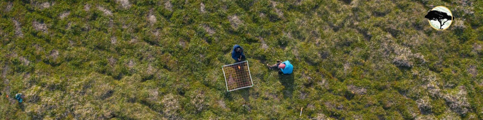
Long-term spatial-temporal monitoring data of African woodlands, covering sub-Saharan Africa in the southern hemisphere, from the forest-savanna boundary in the north towards the savanna-dry open savanna transition in the south, can be made available through the SEOSAW network (SEOSAW 2021, Godley et al 2021). SEOSAW is a collaborative, well-established network actively collecting vegetation data focussing on strengthening African collaborations. The SEOSAW data includes plot-level vegetation composition, species diversity and stem density data and can be used to estimate spatial patterning across near-continental scale. The research will build on existing collaborative networks and will include participation from site PI’s for all new data collection and data synthesis projects conducted. SEOSAW offers support to RESILIENCE and will liaise with site PI’s for data collection and synthesis. New data collection to expand for spatial and temporal coverage is foreseen including drone data collection and regional training workshops. Collaboration will be established with the drone lab at Nelson Mandela University, South Africa. Key collaborators are Mariska te Beest, Utrecht University, The Netherlands; Casey Ryan, University of Edinburgh, UK; Sally Archibald, University of Witwatersrand, South Africa.
We will collect additional vegetation transect data along stress gradients (aridity, temperature, herbivory, fire) in our two focus biomes and within areas for which we will have analysed long-term dynamics and spatial patterns. Plant species with contrasting but equally successful resource-use strategies are known to coexist in ecosystems (Peñuelas et al. 2011). The spatial associations of plants may be strongly dependent on their resource-use strategies and may thus partly determine the spatial pattern of the vegetation. For instance, we could expect that community re-assembly along spatial pattern formation is associated to an increase in the strength of spatial associations of plants with contrasted resource-use strategies, which may contribute to evasion of tipping. The transect data together with the drone data will be used to analyze spatial pattern formation and the spatial association of contrasting plant traits in terms of acquisition of key resources (e.g., morphological plant traits related to water use strategy). We will analyze how the strength of the spatial association of different plant traits vary along stress gradients and relates to the spatial patterns. Different methods to analyze plant spatial associations will be explored, including network techniques that allow identifying multiple-species associations (Baudena et al. 2015).